Features
Part of Weather, disasters, and public safety: a reporting guide
Case study: a fictional flash flood warning
Fictional flash flood case showing how a news desk checks warning scope, radar and gauge evidence, road closures, public action, timing, updates, and all-clear.
What to take away
- This scenario is fictional and contains no current warning.
- The official warning and protective action lead the first report.
- Radar, gauges, road closures, and public reports remain separate evidence streams.
- A warning polygon is not expanded to an entire county without support.
- The article changes as the warning, closures, and recovery status change.
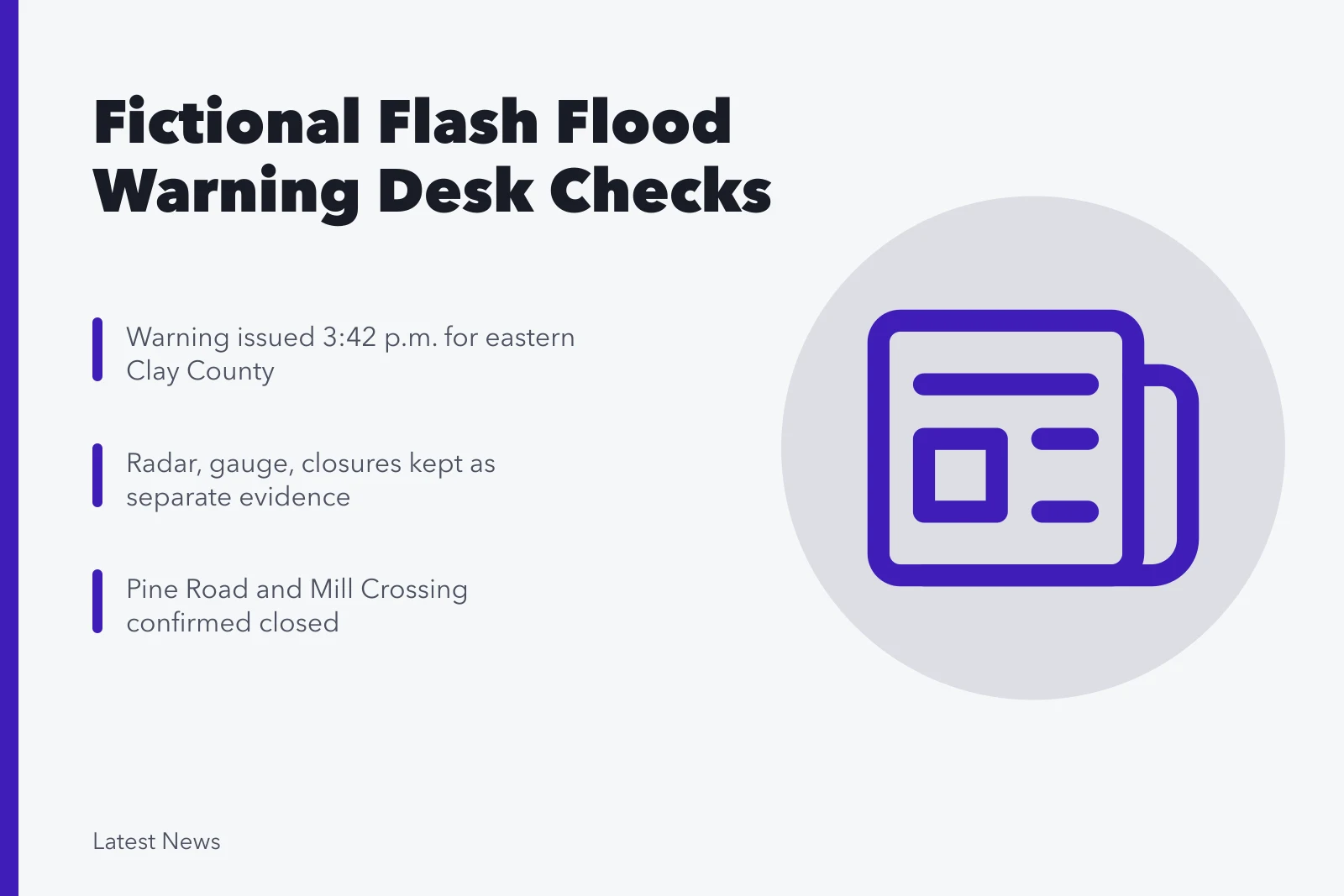
At 3:42 p.m., the fictional Riverbend Weather Office issues a flash flood warning for the eastern part of fictional Clay County until 6:30 p.m. The warning says radar indicates very heavy rain and a stream gauge is rising rapidly. No real office, county, road, gauge, or event is described here.
3:45 p.m.: capture the warning
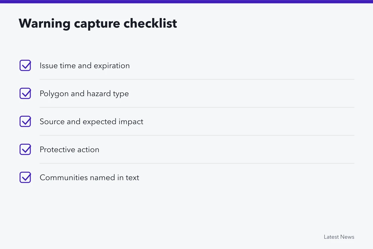
The desk saves the full product and records the issue time, expiration, polygon, hazard, source, expected impact, and protective action. It lists communities named in the text but does not write "all of Clay County" because western areas lie outside the fictional polygon. That capture step follows how to read a weather alert.
The first brief says the warning is in effect, identifies the eastern county area, and repeats the official instruction to avoid flooded roads and move to higher ground if directed. It does not report a rescue, road closure, or measured flood depth until a responsible source confirms one.
The National Weather Service's guide to flood-related products distinguishes Flood Warnings from less urgent Flood Advisories. It says a Flood Warning concerns flooding posing a serious threat to life or property.
This gives the desk a category definition, not independent proof that every road in the area is flooded. The layer discipline follows the weather and public safety reporting guide.
4:05 p.m.: separate the evidence
The evidence ledger reads:
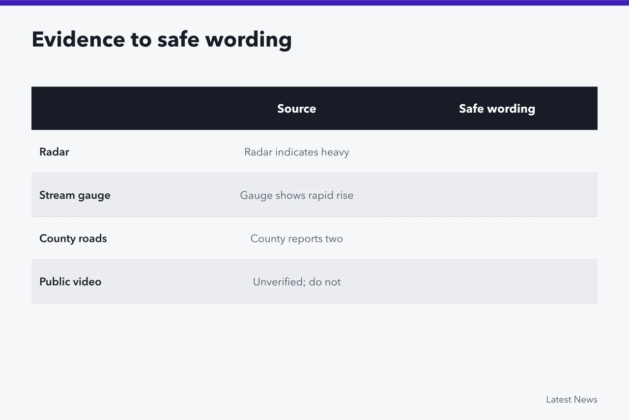
| Source | Fictional finding | Safe wording |
|---|---|---|
| Radar | Heavy precipitation over the basin | Radar indicates heavy rain |
| Stream gauge | Water level rising at one site | Gauge shows a rapid rise at the named site |
| County roads | Two closures confirmed | County reports two named roads closed |
| Public video | Water over an unidentified road | Unverified; do not publish as location evidence |
The desk calls the county transportation office about closures. It does not use comments under a livestream to create a list of safe routes.
4:25 p.m.: update public action
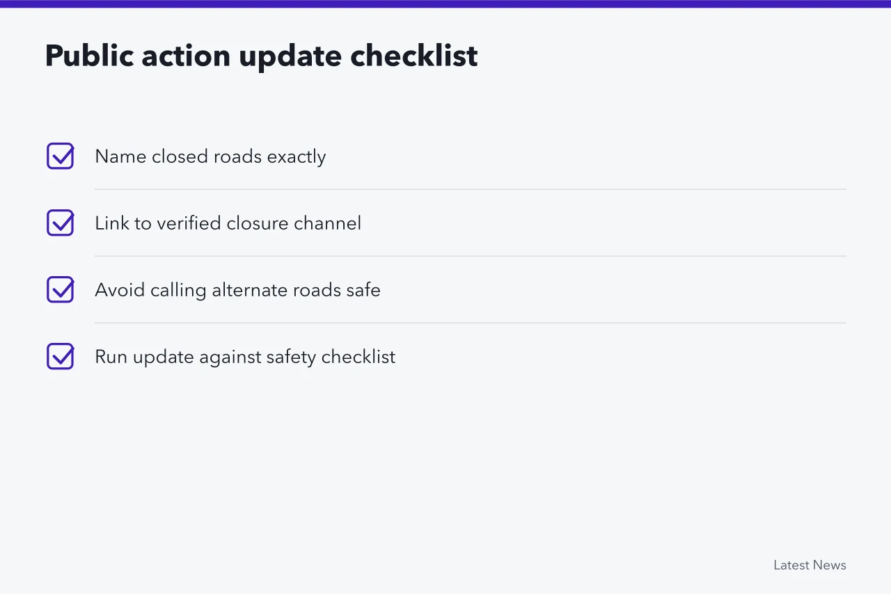
The county confirms Pine Road and Mill Crossing are closed. The story adds those exact names and directs readers to the county's verified closure channel. It avoids saying alternate roads are safe unless the county has checked them. Each update is run against the public safety alert reporting checklist before posting.
The National Weather Service's Turn Around Don't Drown campaign page reports that flooding causes more deaths each year than any other thunderstorm-related hazard and tells drivers and walkers to turn around rather than enter water on a road. The fictional story attributes those general safety points and keeps local evacuation decisions with local authorities.
5:10 p.m.: the polygon expands
The weather office extends the warning north and moves expiration to 7:15 p.m. The desk replaces the old area and time in the headline, opening, action box, map caption, and social post. A change note records the expansion. The expired 6:30 p.m. time does not remain above the new one.
7:20 p.m.: warning ends, impacts continue
The warning expires, but the county keeps both road closures in place. The headline changes from active warning to continuing closures and cleanup. The story does not call an all-clear because the weather office's expiration and the county's road decisions are separate. The same authority-by-authority closeout appears in the transit outage live desk case.
Next morning: close the record
The county reopens Pine Road after inspection but keeps Mill Crossing closed. Final rainfall totals are labeled preliminary until the weather office completes review. The desk lists the article's update times and corrects the first gauge value if quality control changes it.
Common questions
Is Riverbend Weather Office real?
No. Every event detail in this case is fictional.
Why not list the entire county in the first headline?
The fictional warning covers only its eastern part. Broadening the area would misstate the source.
Does warning expiration reopen roads?
No. The authority responsible for a closure must change its status.
Can public video confirm flood depth?
Only after location, time, scale, and authenticity are verified. A visual alone may not support a numerical depth.