Rules
Part of Weather, disasters, and public safety: a reporting guide
Weather and disaster reporting problems and fixes
Radar overclaims, stale warnings and merged authorities change what readers do, so each fix starts with naming the product and its issue time.
What to take away
- Name the radar product, its timestamp and what the color scale measures before describing rain on the ground.
- Treat the first earthquake magnitude, peak wind and outage count as estimates; log when each arrived and when it changed.
- Attribute every order, warning and closure to the office that issued it, never to "officials."
- Publish the legend and valid time with any map screenshot, or the crop is not evidence.
- Rewrite the headline, action box and social text when advice changes; a dated note below old instructions is not an update.
What a release actually measures
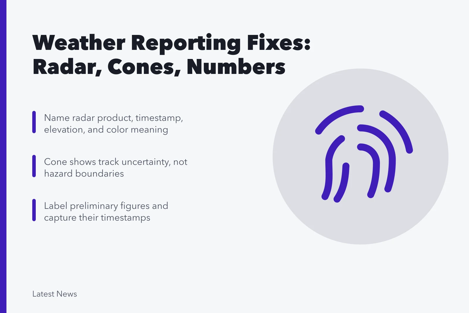
A radar image shows reflectivity at a given elevation and moment, not rainfall at a street address. The National Weather Service's radar rainfall limitations discussion lists beam blockage, overshooting near-surface precipitation at distance, attenuation and nonmeteorological returns as known limits.
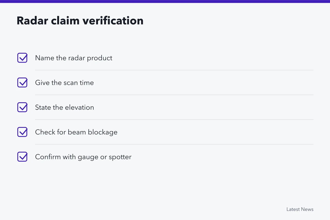
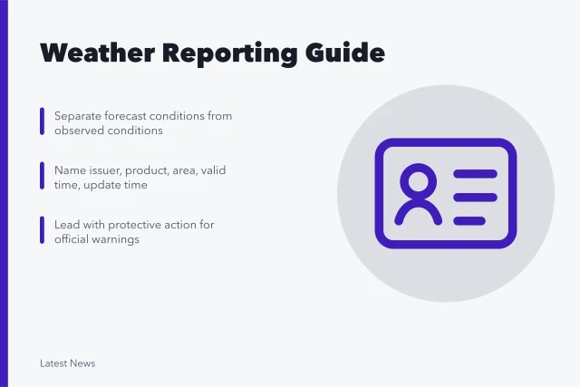
Report the product name, the scan time and the elevation, then look for a gauge, spotter or emergency manager reading to confirm what fell. The baseline habits sit in the weather and public safety reporting guide.
The cone is not a hazard boundary
The tropical cyclone track cone describes forecast uncertainty in the center's path. It says nothing about who gets wind, rain, surge or tornadoes, and it is not an evacuation boundary. Each of those hazards has its own product with its own valid period and its own polygon.
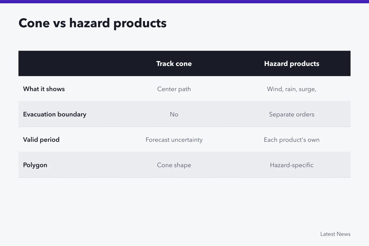
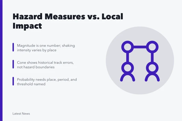
Check every claim against the full advisory package rather than the cleanest graphic. The measure-versus-impact comparisons in hazard measures compared give you the questions to put to each product before you publish it.
Preliminary numbers look final in a headline
USGS explains that an initial earthquake estimate can be revised as more seismic data arrive, sometimes hours later. The USGS explanation of magnitude updates is the authority to cite when a first magnitude or location changes.
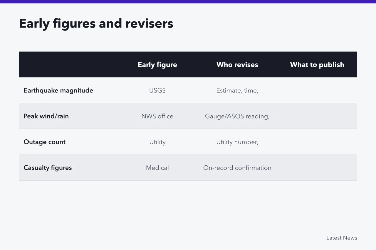
| Early figure | Who revises it | What to publish |
|---|---|---|
| Earthquake magnitude and depth | USGS | The estimate, its time, and the revision when it comes |
| Peak wind and rainfall | NWS office | Gauge or ASOS reading with the observation time |
| Outage count | The utility | The utility's own number, timestamped |
| Casualty figures | Medical examiner, county, or agency on record | Only what an on-record source confirms |
Label early figures with the time you received them. If a revision changes the meaning of the headline, rewrite the headline, then say what changed.
Map screenshots lose their legend
A crop that removes units, valid time, probability threshold, source or update stamp cannot support a claim. Publish the legend and the timestamp with the image, and add a line of text stating the main finding. Link to the exact underlying product, never a homepage or an unlabeled social post.
Name the authority, not "officials"
A forecast office's warning, a mayor's evacuation order, a utility's outage estimate and a police road closure are four different decisions by four different senders. Build a line for each with issuer, action, area, start, end and status.
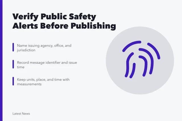
One agency's cancellation does not cancel another agency's order. The sender-and-authority fields open the public safety alert reporting checklist for exactly this reason.
File footage needs a caption that says so
Old storm video or a generic flood photograph beside a live alert reads as current unless the caption says otherwise. Verify origin, date, location, creator and license before use. Label file images as illustrative, and choose a less intrusive visual over rescue footage that exposes private suffering.
Replace the advice, do not stack it
New paragraphs below an expired warning leave a reader entering from search with the old instruction. Rewrite the action box, opening, headline, map caption and social text, then keep one short dated change note. The drinking water advisory case walks one desk through that replace-everything habit under a live advisory.
Common questions
Is radar unreliable?
No. It is a remote-sensing system with documented limits, and those limits are the reason you name the product and pair it with ground observations. The NWS discussion above is the citation for the limits themselves.
Why can earthquake magnitude change?
Additional seismic data and refined analysis can alter the preferred estimate after the first automatic solution. USGS publishes the revised figure, so cite the revision rather than the initial number.
Can old footage be used?
Yes, when its date and location are verified, rights are clear, and the caption makes its illustrative status unmistakable. Without all three, the image is a false location claim.
What deserves the fastest correction?
Wrong protective action, geography, timing, hazard status or route information comes first. Those errors change what a reader does, not just what they believe.